Cindy Baker
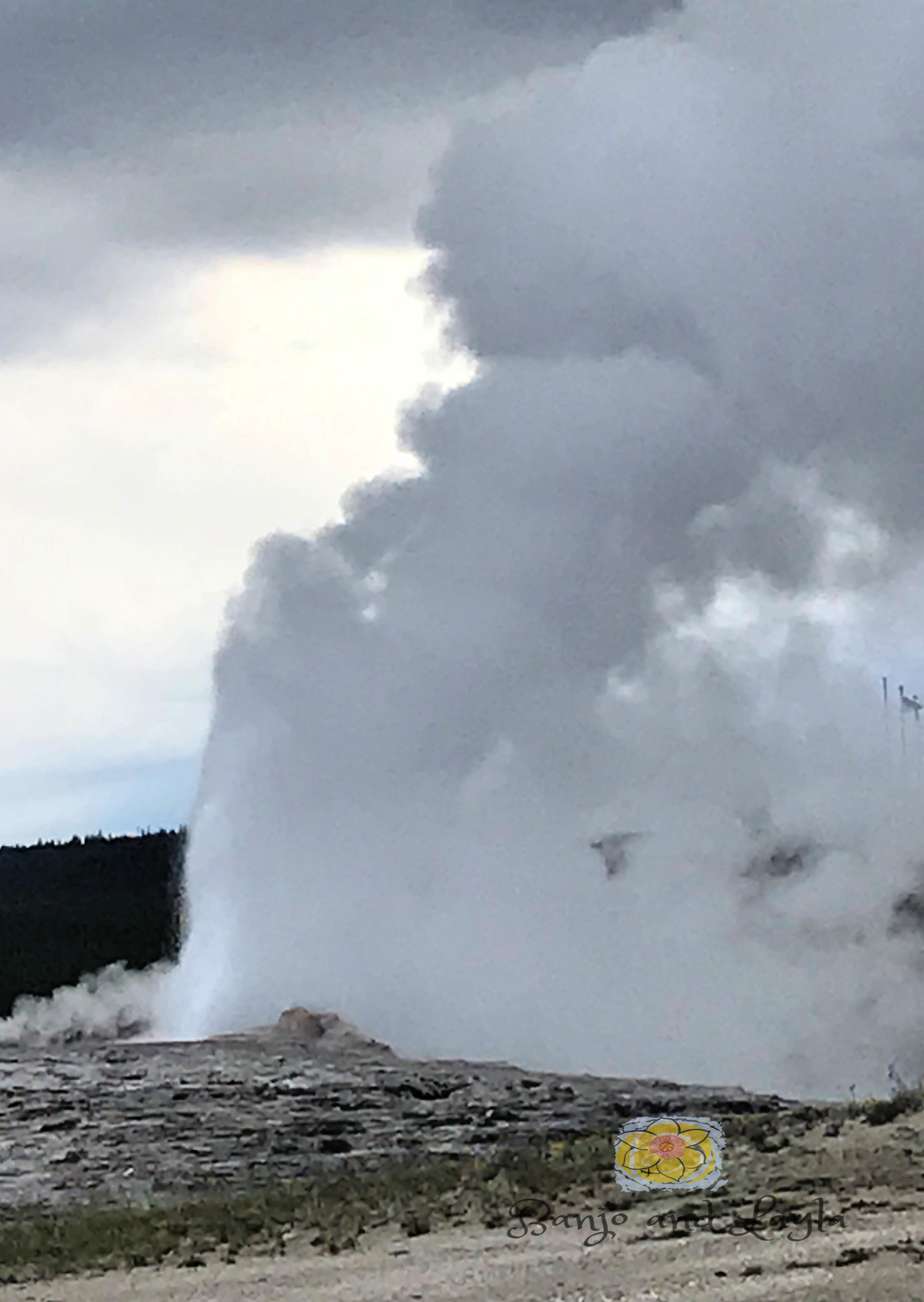
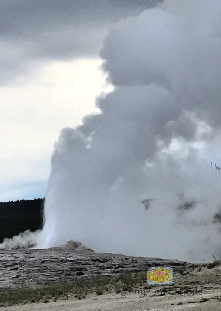
Our third day of our journey started out rainy, but we were still determined to see the most famous geyser: Old Faithful. The Upper Geyser Basin, home of Old Faithful, holds the majority of the world’s active geysers. So many hydrothermal features concentrated in one area is evidence of Yellowstone’s active volcano.

Insider Tip: Plan to arrive early to the major attractions, as the crowds get larger later in the day.
Partially molten rock, or magma, from this volcano is said to be as close as 3-8 miles below your feet. Magma provides the first key ingredient in creating these thermal features, which is heat. The second ingredient is water, provided by rain and snow. The water seeps down several thousand feet below the surface where it is heated. Underground cracks and earthquake faults form the third ingredient: a natural “plumbing” system. Water that is heated to a super high temperature rises through this plumbing to produce hot springs and geysers.

Insider Tip: Forcasted eruption times are posted on a board in the Visitor Education Center and in many of the area facilities.
Old Faithful erupts more frequently than any of the other big geysers, although it is not the largest or most regular geyser in the park. It is very cool to see though. The water shoots up very high and lasts several minutes.
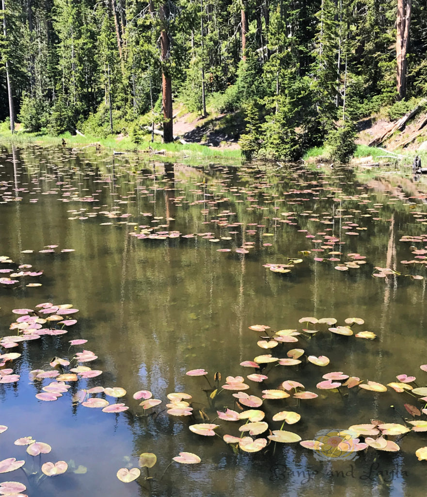
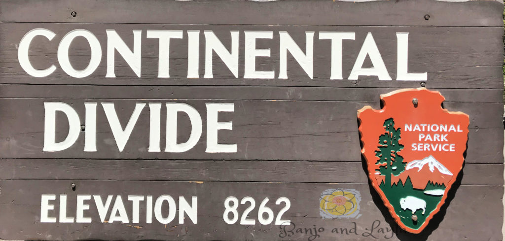
From Old Faithful Village and the Upper Geyser Basin we drove to the Canyon area, stopping at Isa Lake on the way. Isa Lake straddles the Continental Divide at Craig Pass. Isa Lake is believed to be one of only two natural lakes in the world which drain to two different oceans, the other one being Wollaston Lake. The east side of the lake drains by way of Lewis River to the Pacific Ocean and the west side drains through Firehole River to the Gulf of Mexico. The lake is easy to find. It is next to the road that connects the Old Faithful and West Thumb geysers basins. This road is called the “Lower Loop.”
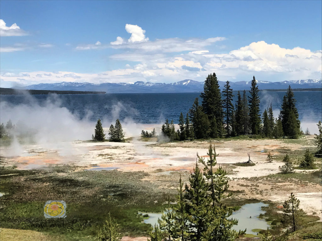
We continued on to the Canyon area passing on the way one of the most beautiful lakes I’ve ever seen, Yellowstone Lake. The water was a deep blue, and the views were extraordinary. Every pull-over area was an awesome photo opp. `
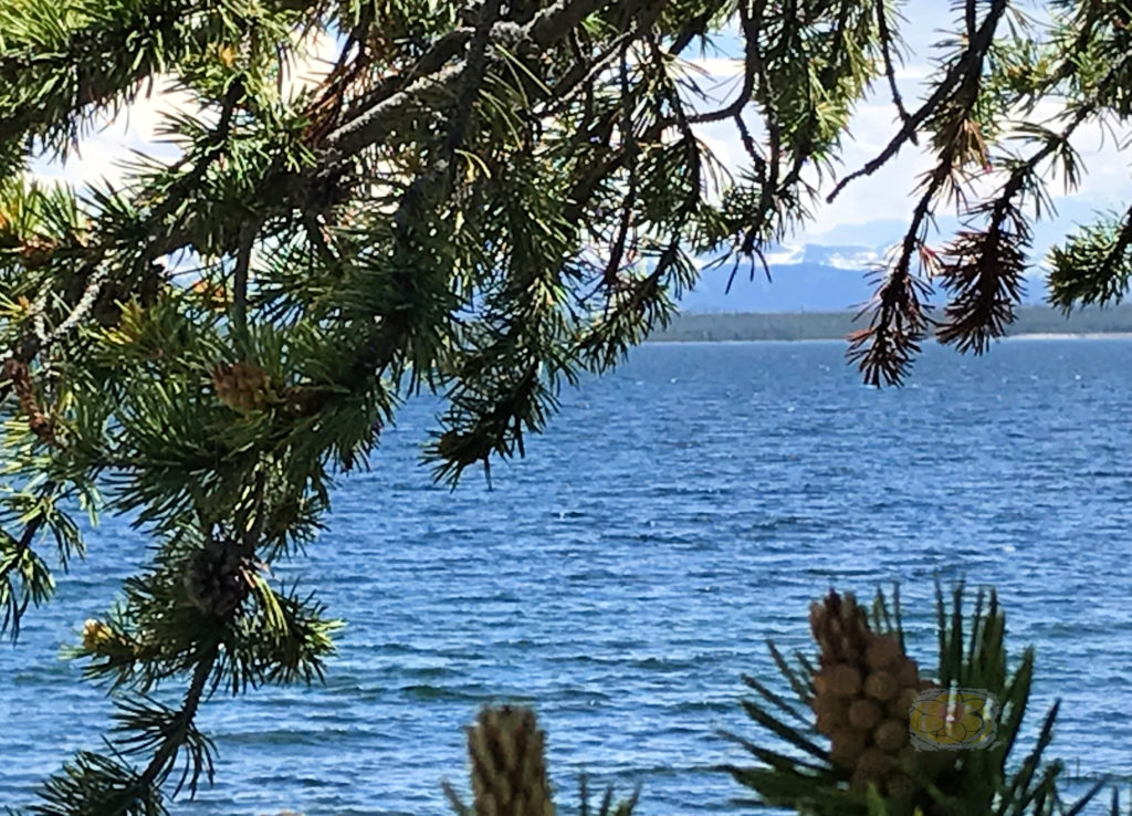
Yellowstone Lake is the largest high-elevation lake (above 7,000 feet) in North America. It covers 286 square miles and has an average depth of 138 feet. The only outlet of the lake is at Fishing Bridge, where the Yellowstone River flows north. This lake is covered by ice from mid-December to May or June. Cold! The central basin and ragged shores were carved from glacial activity and volcanic events. In fact, many of the area’s 1,000 to 3,000 annual earthquakes occur under Yellowstone Lake, causing the water’s edge to continue to be reshaped. Yellowstone Lake is also the site of one of the most extensive conservation efforts in the National Park Service. The park staff is trying to reduce the impact of invasive lake trout on the survival of the native population of cutthroat trout.
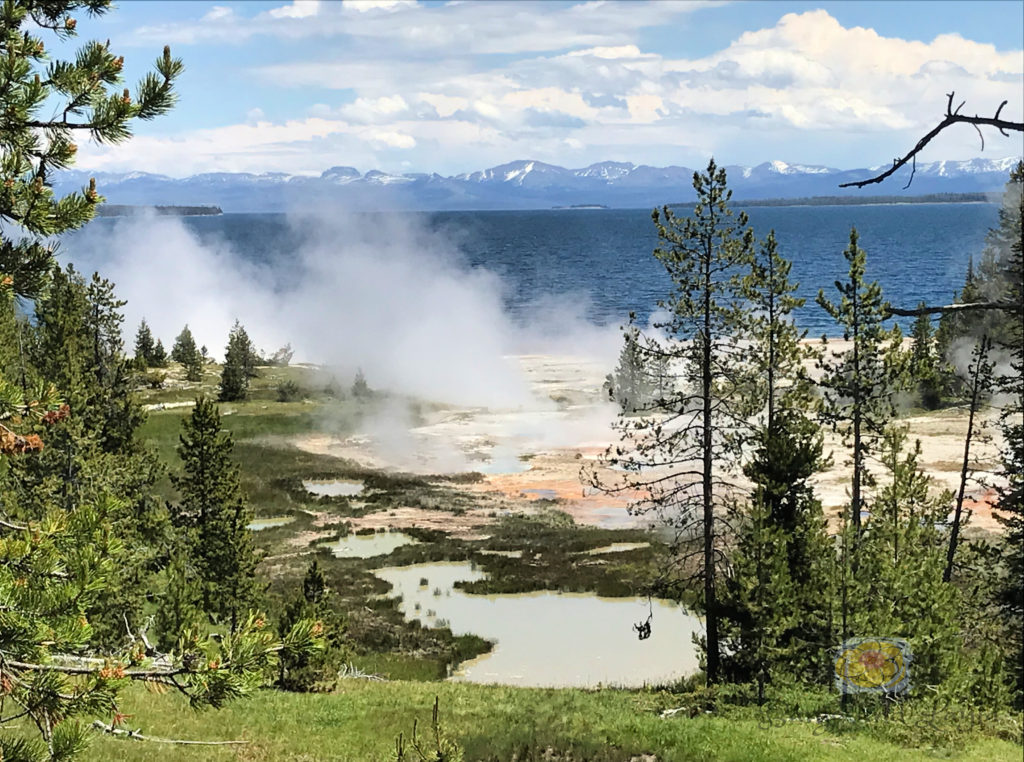
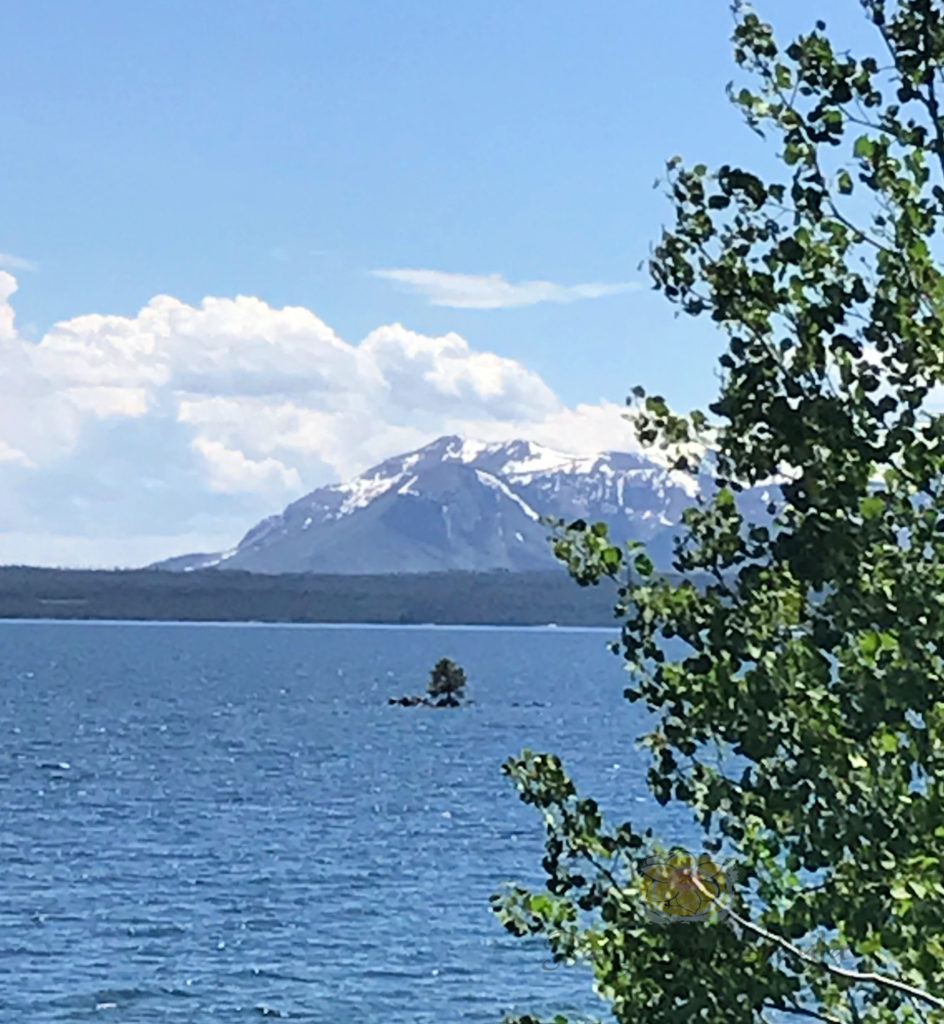
After passing Yellowstone Lake we went through Hayden Valley on our way to the Canyon Area. Very early in the morning is a great time to see active wildlife in this valley. Professional photographers set up their cameras and wait super early. But even later in the day we were able to see a few animals and stopped to take some photos.


Passing through Hayden Valley we arrived at the Canyon area, housing Canyon Village and the Grand Canyon of the Yellowstone River. This Grand Canyon is full of dramatic geological shapes and colors, and the Upper and Lower Falls of the Yellowstone River are breathtaking.
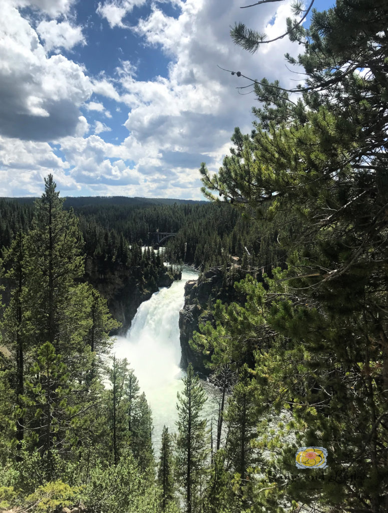
The canyon formed when hydrothermal activity changed and weakened the bedrock, making the stone softer. Then the Yellowstone River eroded the weakened rocks, which deepened and widened the canyon further. The 308-foot Lower Falls marks the point where the volcanic bedrock beneath the river changes from hard rock, which is resistant to erosion, to the hydrothermally altered rocks found common downstream. The 109-foot Upper Falls marks a similar shift. Near the river you can see dark orange, brown, and green areas where there are still-active hydrothermal features, which along with water, wind, and earthquakes continue to sculpt the canyon today. There are several places to view both falls and get some great photos.

Insider Tip: You will be driving a lot in the large park to see everything, and you don’t want to run out of gas. Make sure to check the map you get when you enter the park your first day so that you will no where gas stations are (there are not very many in the park). Canyon Village is one place we got gas.
Please leave me your comments below. Check out a short video of Day 3 here:

